

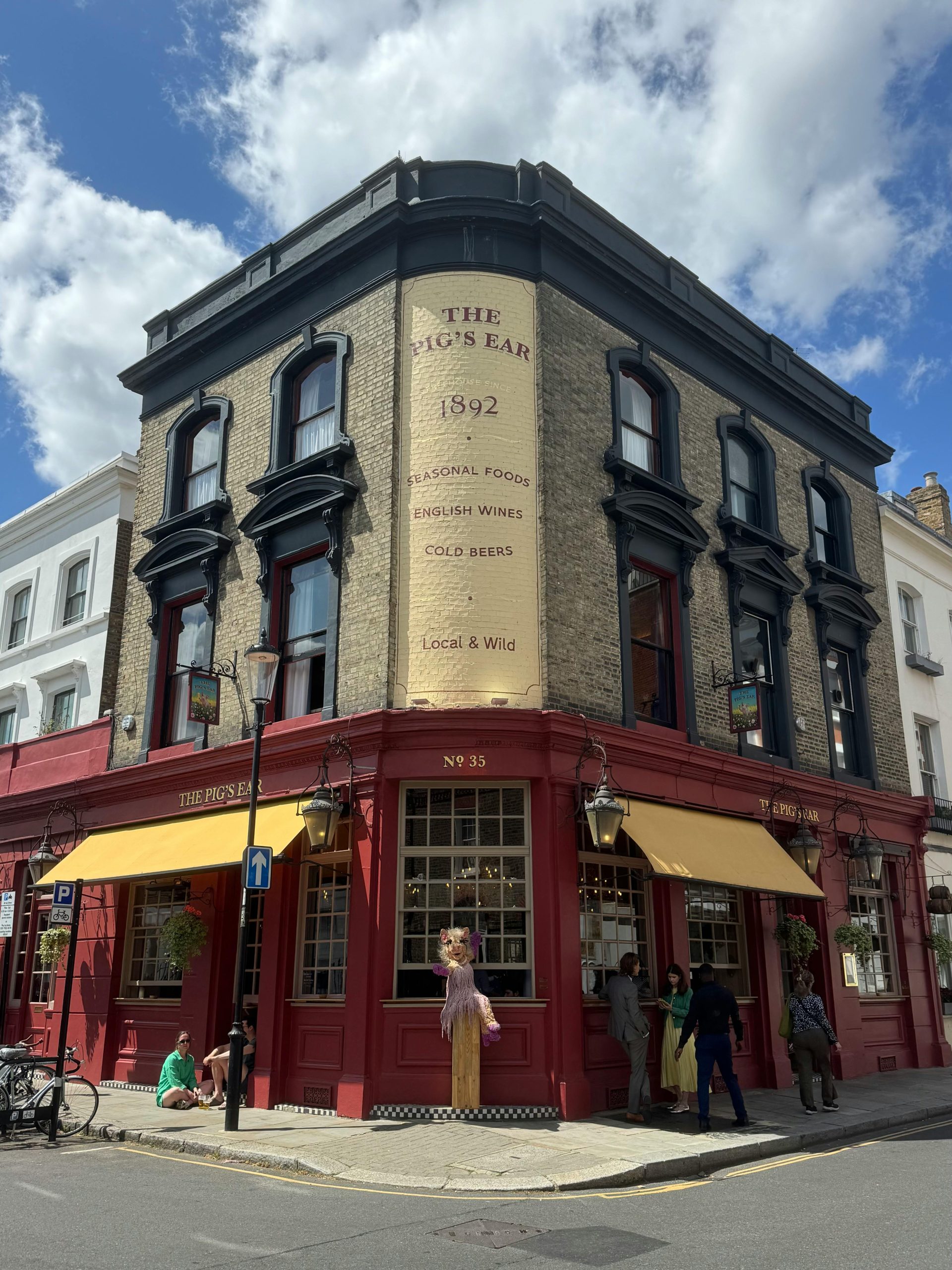
Exploring the Rich History of the World’s End: A Landmark of Chelsea, London
The historic pub known as the World’s End in Chelsea, London, stands as a testament to centuries of social and architectural change. Its story reflects the evolution of London’s brewing culture, urban development, and local heritage. Delving into its past reveals fascinating insights into the area’s history, from early references in historical diaries to its role as a community hub over the centuries.
Origins and Early References
The site of the World’s End has hosted a tavern, inn, or public house for at least several centuries. The earliest recorded mention comes from the 17th century, notably in the diary of Samuel Pepys. On 17 May 1665, amid the plague years, Pepys detailed his visit to a drinking establishment on the outskirts of London: “went to the World’s End, a drinking house.” This description underscores the tavern’s position on the fringe of the city, serving as a refuge amid a semi-rural landscape.
The name “World’s End” was a common term in the 17th century, used to denote remote or frontier settlements and inns on the outskirts of towns. In Chelsea, then a semi-rural area, the pub’s name reflected its geographical location near the boundary of the city. The King’s Road, which ran nearby, was often muddy, poorly maintained, and sometimes hazardous, making the tavern a vital stopping point for travelers seeking safety and refreshment.
Historical and Artistic Depictions
Over the years, the World’s End has been featured in various visual records. An engraving from 1790, attributed to an artist of that period, captures a scene of the pub, indicating its importance as a local landmark. Later photographs from the late 19th and early 20th centuries show the pub before and after significant rebuilds, providing a visual narrative of its architectural evolution.
Cartographic evidence further illustrates its longstanding presence. John Cary’s 1795 map places the inn amidst open countryside, underscoring its rural origins. Interestingly, early maps depict the pub on the north side of the King’s Road, whereas modern images show it on the south side—a shift likely resulting from urban development and changes in the surrounding landscape.
The Victorian Era: Reconstruction and Naming
In 1897, the current structure of the World’s End was erected, a product of the extensive Victorian pub redevelopment wave. This era saw breweries and landlords replacing older, dilapidated establishments